- Follow Us
-


-

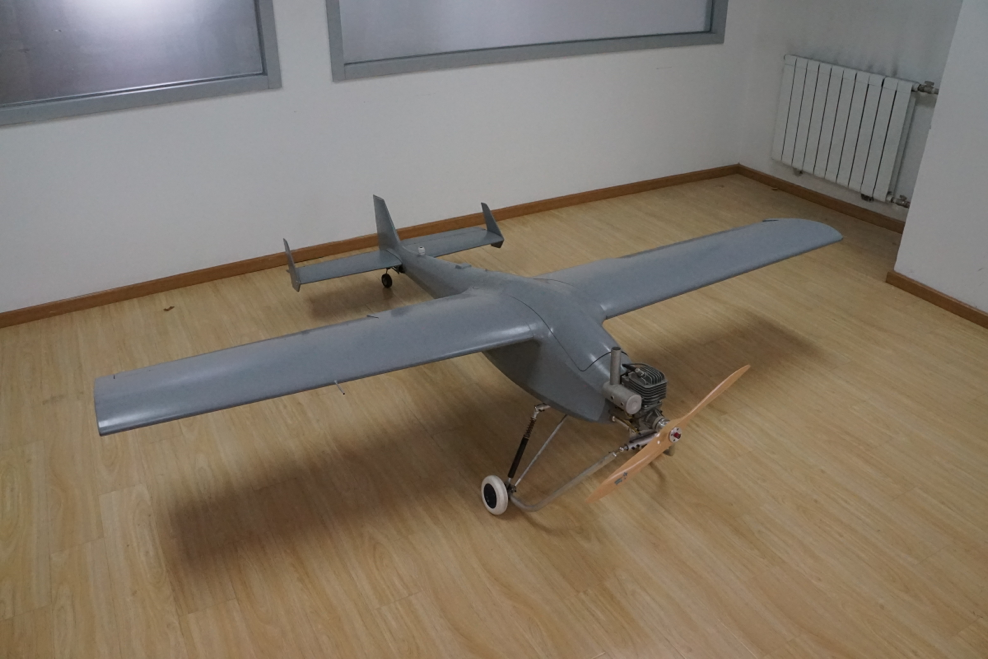
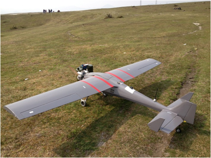
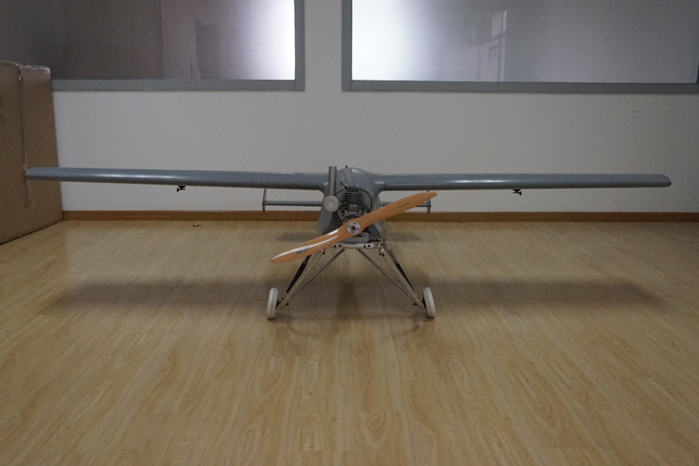
PLT-03 Aerial Surveying UAV
PLT-03 unmanned aerial vehicle(UAV),which independently researched and developed by Beijing UAV Pilot Technology Co., Ltd,has the advantages of flexibility speediness and economic efficient,and the high resolution image acquisition and processing capacity.After the calibration and test,it can acquire the large scale aerial image data to measure the Digital Orthophoto Map(DOM),Digital Elevation Model(DEM),Digital Surface Model (DSM) and Digital Line Graph (DLG), in accordance with the functional requirements of the projects.

Configuration parameters
| Wingspan | 3.1m |
| Aircraft length | 2.2m |
| Operating Radius | 500km |
| Power system | Gasoline engine |
| Max launching weight | 22kg |
| Aircraft weight | 10kg |
| Max task load | 3kg |
| Controlling mode | Manual operation/Process control/Remote control |
| Take-off mode | Catapult/Sliding |
| Max level speed | 140 km/h |
| Normal cruising speed | 100 km/h |
| Max climbing rate | 8m/s |
| Ceiling | 4000m |
| Communication distance | 50km |
| Endurance time | 5~8h |
| Standard task load | 2kg |
| Voyage | 1300km |
| Landing mode | Parachute/Glassding |