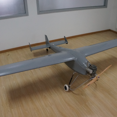
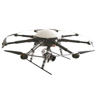
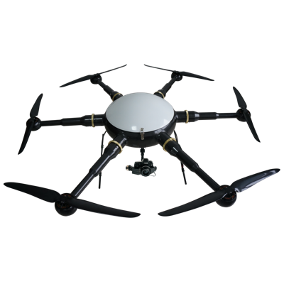
PLT-03 unmanned aerial vehicle(UAV),which independently researched and developed by Beijing UAV Pilot Technology Co., Ltd,has the advantages of flexibility speediness and economic efficient,and the high resolution image acquisition and processing capacity.After the calibration and test,it can acquire the large scale aerial image data to measure the Digital Orthophoto Map(DOM),Digital Elevation Model(DEM),Digital Surface Model (DSM) and Digital Line Graph (DLG), in accordance with the functional requirements of the projects.
- About Product
- Aircraft series products
- Flight control series products
- Flight control series products
- Data download
- Beijing UAV Pilot Technology
- Add: 6th Floor, Yuehong Building, No. 13,Rongchang North Road, Yizhuang Economic & Technological Development Zone, Beijing, China
- Tel: 010-67893538
- Fax: 010-67893538-602
- Online service: 2312122327


